News
Getting transport infrastructure right to reach net zero: a data driven approach

Net Zero Navigator guides local authorities in the United Kingdom towards identifying the most suitable combination of interventions to meet their carbon emissions targets. It supports strategic-level decision making by showing an array of projects which, delivered together, generate more than the sum of their parts.
This post uses the lens of active travel to demonstrate how the Net Zero Navigator allows you to seize opportunities while addressing some of the key issues that emerge when transitioning to net zero.
Net Zero Navigator was developed for the Connected Places Catapult by Useful Simple Trust and Space Syntax with input from CDP.
Why should you promote active travel?
The benefits of active travel are increasingly well understood, and can include less congestion, improved air quality, positive health impacts, and major secondary economic benefits.
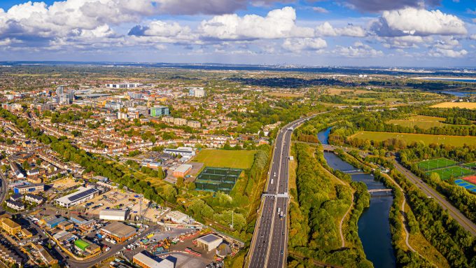
However, the mode share - the amount that people walk, cycle, use public or private transport - is different across the country, and this can be seen in geographically close towns and cities with very different levels of active travel, such as Cambridge and Stevenage.
Where do people walk and cycle?
There is an increasing awareness of the impact of the built environment on daily travel behaviour, and increasing availability of data and tools to model and evaluate it. Net Zero Navigator incorporates advanced analysis to better explain where environmental conditions are in place to support fewer journeys by car.
To understand active travel behaviour requires a logic model. In this case, Space Syntax’s model takes input systems that describe the macro-scale built environment (such as the street and pedestrian networks, land use and density), analyses how these systems relate to and interact with each other from the point of a person, and relates these to an outcome (in this case transport mode share).
Space Syntax’ project experience and research in this domain has shown that the built environment is highly influential on mode share. If the combination of street network, land use and density do not make it worthwhile or convenient, then few people will walk or cycle. There are additional layers to consider, including public realm quality, street lighting, crossings and personal safety, however improving these will have limited impact without the underlying physical infrastructure in place.
Looking at the Middle-Layer Super Output Areas level across the Thames Valley as part of a separate research project, Space Syntax created mode share models that predict to a high degree of confidence where people own cars, commute by public or active transport.
These models consider income deprivation alongside built environment characteristics. Detailed analysis of individual model components shows that relationships between no car ownership and income deprivation are weaker than against the built environment. What this indicates is that town and city centres in this region may have higher levels of deprivation compared to their surroundings, but importantly it also shows that some people who live in these areas could afford to own a car but choose not to.
Understanding the impact of the built environment is highly important within this context. If an active travel intervention is made without taking this into account, it is unlikely to deliver its objectives.
There is discussion around causation and correlation, with complexity in the interaction of socio-economic, demographic, environmental and climate considerations. However, if the built environment makes it impossible to walk then only the most determined will do so. If the built environment supports walking and cycling, it at least makes it possible.
How does Net Zero Navigator make use of this understanding?
The Net Zero Navigator uses open data, profiles local authorities and short-lists relevant strategic and enabling interventions. It does so using analysis carried out specifically for the development of this tool.
Making use of data openly available at the scale of a local authority, including Space Syntax’s GB-wide OpenMapping dataset, a series of multi-variate regression models were created in order to understand interactions between mode-share and the macro-scale characteristics of the built environment. This approach identified that population size, population density and connectivity at different scales were the most important factors in describing a local authority mode share.
Local authorities could then be clustered into categories that share similar characteristics. This enabled us to identify two key pieces of information: the mis-matches between potential and actual mode share, i.e. where the built environment supports higher levels of active travel than are observed, and; the thresholds where different commuting behaviour occurs.
Potential interventions can then be assigned. In places where the environment supports active travel, behaviour change campaigns could be targeted. There will be places where improved cycle infrastructure is required, however there will also be cases where the underlying conditions are not in place and are very difficult to change - in these places mitigation measures such as encouraging clean car-share clubs should be considered.


Above: categorisation of local authorities based on characteristics of connectivity, population and population density.
What benefits does Net Zero Navigator provide?
Our approach brings major benefits in both the short- and long-terms:
- It means targets are realistic, enabling projects to deliver tangible benefits based on spatial characteristics;
- It helps local authorities to see who else is in their category and where they might learn lessons from, or even partner with;
- It makes it possible to see which characteristics of the built environment are in place, and this is important to consider when allocating growth or investing in infrastructure. For example, if a local authority has the connectivity and population to support active travel, then future population growth could be used to increase density to the required level, and;
- It allows many projects to be coordinated within a larger holistic development and investment strategy.
Ed Parham
Ed is an Architect and Director of Innovation and Design at Space Syntax.
This role combines the development of tools to analyse cities with their application to real-world design and planning projects. The overarching objective behind these activities is to create better cities for people by understanding the interactions between urban systems.
In his time at Space Syntax he has lead international multi-disciplinary teams to design award winning masterplans for capital cities, improve health outcomes in UK cities and shape the development of digital tools that enable untrained users to make evidence-informed decisions.
Click here to sign up for a webinar at 10am on 6th December to hear more about the Net Zero Navigator tool.