articles
Meet the innovator driving autonomous vehicle safety forward
Electronics expert Oliver Leisten has developed satellite-based communication systems to help unmanned aircraft stay safe in the sky. He is now turning his attention to driverless cars with the help of Connected Places Catapult.

As a boy, Oliver Leisten built transistor radios so his family could listen to the BBC World Service from their home in Malawi. His interest in electronics led to a career manufacturing antennas that communicate with satellites, allowing data to be transmitted around the globe and for mobile devices to provide navigation for people out and about.
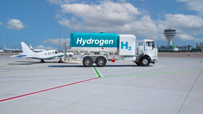
Now, Oliver and his company Helix Geospace are creating advanced antennas that support global navigation satellite systems (GNSS) to help guide unmanned aircraft. He was involved in a recent Future Flight Challenge project – supported by UK Research & Innovation and Innovate UK – to introduce technology for autonomous planes used to transfer mail between islands in Shetland.
He is also taking this technology down to ground level to help ensure that future connected autonomous vehicles can communicate their positions with one another with sufficient accuracy to ensure they avoid collision. To help with this aim, Helix Geospace joined an Intelligent Mobility Accelerator in 2020, delivered by Connected Places Catapult and Wayra UK, the innovation arm of Telefonica.
Helix has since been working alongside a major telecommunications network provider to develop the technology and the Society of Motor Manufacturers & Traders to help shape future thinking. Oliver’s company now has close to 30 staff including software programmers and procurement specialists and has an ambitious growth plan for the next three years.
Proliferation of antennas
Over the last few decades, single large antennas in fixed locations have begun to be supplemented with multiple small antennas in mobile devices – such as smartphones and tablet computers – to send and receive data.
Transferring large amounts of information requires many antennas to support different data types, Oliver explains. “These antennas have to work independently of each other and not cause interference by jamming each other’s signals.”
“We are all addicted to information and this trend is not going to relent,” he continues. “The best and most efficient societies have more information available to them, and we need to allow it to flow safety, cheaply and in a way that is power efficient.”
Now with the prospect of connected autonomous vehicles coming to our roads, there will need to be many millions – if not billions – of tiny antennas placed on the vehicles to communicate their precise positions quickly and accurately. The market potential is huge.
Oliver says creating strong ties between stakeholders is key to ensuring that future technologies deliver maximum benefit for the transport sector.
“Connected Places Catapult creates leadership for the UK market and allows for the exchange of ideas among stakeholders.”Oliver Leisten, Helix Geospace
He adds that Satellite Applications Catapult has also been helpful in providing his company with access to a far-field antenna test range at Harwell in Oxfordshire to help with product development. “Developing this technology involves a great diversity of skills, organisations, technologies and policies so it is right that the Catapult Network can help to create efficiencies by co-ordinating effective collaborations.”
Developing his electronics expertise
Oliver started his career as an apprentice with manufacturer Plessey in Essex while studying radio frequency communications at Loughborough University in the 1970s. He later enrolled on a post-graduate course on the subject of solid-state microwave electronics, sponsored by Philips, and entered the emerging field of GPS – or global positioning satellites.
“I was involved with GPS right at the start in 1989 and my first challenge was to make it work as part of a navigation system for the Panavia Tornado fighter aircraft used by the Royal Air Force during the Gulf War.”

He later joined Navstar Systems in Daventry; a location known to him as it was the Daventry Transmitter which his early wireless radios used to seek out. “This was an absolutely fascinating field of work and there was a lot of intellectual property being developed in GPS at the time to create very accurate measurements.” The company first used GPS to create navigation devices used by fishermen to locate favoured stretches of river.
The company was bought by an American firm and Oliver found himself designing an instrument known as the ‘mushroom’ that was fixed to the top of many of the world’s tallest buildings. The antennas were used to synchronise time and GPS and ended up being used by around three quarters of the world’s major telecommunication systems.
“The idea is to allow bit streams of data to be sent around the world very fast, and both GNSS and GPS allow you to find your position and find accurate time,” Oliver explains. “When data is transmitted and received, a system needs to know exactly what the time is.
“Telecommunication networks are now regarded as part of a nation’s critical infrastructure; if they are not synchronised, countries can lose communications and it could be disastrous for an economy.”
Recent advances in antennas
“I have always been convinced that antennas would become a popular theme of intellectual property development as they used to be very large. Now you have the technology in a watch, so things have certainly moved on,” he says. “This transition to smaller devices really interested me and in the year 2000 I helped form a company called Sarantel to develop tiny antennas that made accurate position measurements.”
After 13 years, Oliver joined a Japanese firm to learn more about advanced manufacturing processes and went on to launch another company focused on designing tiny antennas that could be fitted to connected autonomous vehicles.
He teamed up with a business partner to form a company that became Helix Geospace, of which Oliver is now Chief Technology Officer, and won a grant to create an accurate GNSS antenna to operate with signals from the Galileo constellation of spacecraft.
Oliver acknowledges that the widespread use of connected autonomous vehicles in the UK is still some way off, but says work must be done now to prepare for future applications.
“The technology has to reach a threshold of acceptability where the insurance industry believes that connected autonomous vehicles are delivering greater safety than the incumbent, manually driven fleet of vehicles,” he explains. “It also has to be 100 times better than people, and we are working to show a vehicle’s position in a city to an accuracy of 10cm.”
Alongside its work on connected autonomous vehicles, the company continues to develop technology for unmanned aerial vehicles used to carry parcels. “We are also now developing systems that protect GNSS from being spoofed; by measuring the direction in which a signal arrives and checking its veracity against the known position of a satellite.
“We think that GNSS is going to be the primary navigation system for connected and autonomous vehicles in future, but it is important that it is accurate and dependable when used in a busy cityscape,” he adds.
The antennas being developed for the cars are very small: as little as 3 or 4mm in diameter and 6mm tall. But the scope of opportunity could, Oliver says, “be absolutely enormous”. When it comes to transmitting and receiving data, he adds, “small antennas could be the modern day equivalent of lightbulbs”.