Drones supporting coastal erosion monitoring and protection
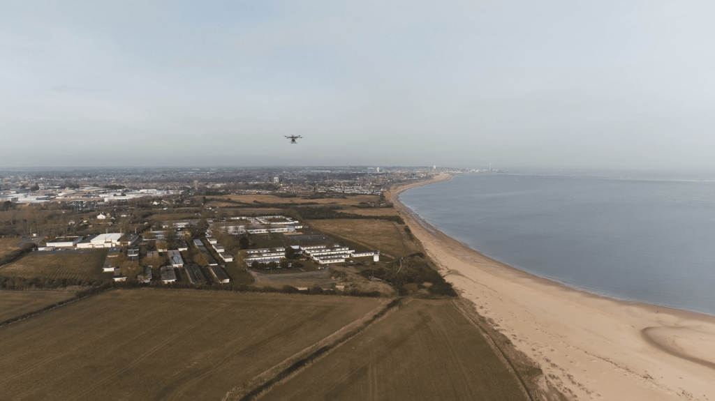
The UK coastline is an evolving landscape, and the effects of climate change are threatening vulnerable coastlines and putting communities, businesses and infrastructure at greater risk from flooding and erosion.
As part of the Department for Transport funded Drone Pathfinder Catalyst Programme, Connected Places Catapult worked with SurveyAR and the Environment Agency to organise coastal drone surveys to highlight how the Environment Agency, local Risk Management Authorities and other environmental organisations could benefit from using drones.
This case study outlines the economic, social and environmental benefits of using drones for coastal change surveying. With the help of the Environment Agency’s Anglian Coastal Monitoring Programme, it shows how drones could enhance the current suite of coastal survey techniques and explores the benefits of drone gathered data.
Property, asset, infrastructure, and local authority officers who read this document will gain awareness of the capabilities and potential opportunities for drones in environmental monitoring.


Further Reading & Listening